Table of Contents
- AI Tools for Roofing Aerial Measurements: Quick Comparison
- How AI Roof Measurement Tools Turn Aerial Imagery Into Bids
- The Tool Lineup: AI Tools for Roofing Aerial Measurements Reviewed
- Which Roofing Estimating Software Does Each Tool Integrate With?
- Automated Roof Takeoff Tools: Accuracy, Speed, and Margin Impact
- AI Measurement Errors: What Goes Wrong and How to Catch Them
- What Aerial Roof Measurements Cost Small vs. Large Firms
- Data Privacy and Security When Aerial Scans Capture a Property
- Making the Measurement Decision
- Frequently Asked Questions
Last Updated: September 29, 2026
AI Tools for Roofing Aerial Measurements: Quick Comparison
AI tools for roofing aerial measurements use satellite imagery, drone scans, and photogrammetry to generate roof dimensions without climbing a ladder. At Uberwood Agency, we build automation systems for home service businesses, and roofers ask about measurement accuracy more than almost any other topic.
| Tool | Method | Pricing Model | Best For |
|---|---|---|---|
| EagleView | Aircraft imagery + 3D modeling | Per report | Insurance-grade claims |
| GAF QuickMeasure | Professional report service | Per report | GAF system installers |
| SquaresForSales | Satellite imagery | $50/month flat | Small crews, fast quotes |
| Roofr | Satellite imagery | Subscription | Sales-focused contractors |
| Rooftops AI | AI satellite analysis | Subscription | Measure-to-proposal workflow |
| Hover | Photo-to-3D modeling | Subscription | On-site visual estimates |
| RoofSnap | DIY aerial tools | Subscription | Contractors who measure their own |
| Nearmap | High-resolution imagery API | Subscription | Large firms and developers |
How AI Roof Measurement Tools Turn Aerial Imagery Into Bids
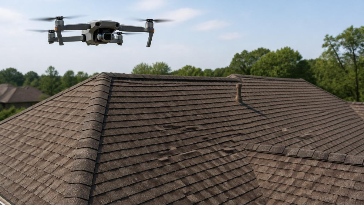
Roofing aerial measurements convert overhead imagery into a structured report containing roof area, pitch, ridge and hip lengths, and a waste factor. The software identifies edges, slopes, and planes, then calculates surface area.
From Photogrammetry to 3D Modeling: What Happens Behind the Report
Photogrammetry derives 3D measurements from overlapping 2D images: the system stitches photos together, matches common points, and builds a 3D model of the roof geometry.
From there, the pipeline usually runs in four stages:
- Image capture via satellite, aircraft, or drone
- Edge and plane detection to separate roof facets
- Pitch calculation from slope and shadow data
- Quantity takeoff that converts geometry into material counts
The Tool Lineup: AI Tools for Roofing Aerial Measurements Reviewed
Every tool here produces a usable report. Differences show up in imagery source, turnaround time, integration depth, and control.
EagleView and GAF QuickMeasure: The Insurance-Grade Standard
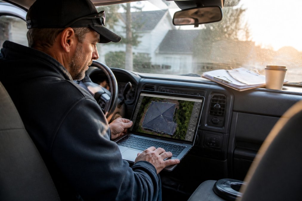
EagleView captures its own high-resolution aerial imagery via aircraft and delivers automated 3D roof measurement reports with pitch, area, waste factor, a slope diagram, facet-by-facet breakdown, and ridge, hip, valley, and eave lengths. Turnaround is usually same-day to next-day, with rush options at a premium.
SquaresForSales, Roofr, and Rooftops AI: Fast Satellite Estimates
SquaresForSales generates instant satellite measurements on a flat-rate subscription starting around $50 per month, predictability worth more than marginal accuracy gains for small to mid-sized companies. The limitation is satellite resolution: complex rooflines with dormers and valleys get harder to read, and heavily treed properties may need a manual override.
Hover, RoofSnap, and Nearmap: Photo-to-3D and DIY Measurement
Hover turns smartphone photos into accurate 3D models covering roof and siding, with interactive design tools that help homeowners visualize the finished job. The catch: someone must be on site to capture photos. For contractors who already walk every roof, that's a chance to document conditions and build rapport.
What Actually Separates These Tools
Three variables matter more than the marketing copy:
- Imagery source: Aircraft capture (EagleView) generally beats satellite on complex roofs. Satellite (SquaresForSales, Roofr) wins on speed and cost.
- Turnaround: Instant tools return a report in minutes. Aircraft-based reports may take hours to a day.
- Integration depth: Native CRM integration (EagleView, Roofr, RoofSnap) removes manual data entry. API-only tools (Nearmap, Hover) require a build.
A common pattern among contractors who switch tools: they chase the lowest per-report price, then discover the report doesn't flow into their estimating software and someone re-types numbers, reintroducing the exact human error the AI was supposed to eliminate.
Which Roofing Estimating Software Does Each Tool Integrate With?
Integration compatibility is where most buying decisions get made, and it's the angle most tool roundups skip. A measurement report is only useful if it lands inside the system your team already uses.
| Measurement Tool | Integrates With | Delivery Method |
|---|---|---|
| EagleView | AccuLynx, major CRM platforms | Direct order inside CRM |
| GAF QuickMeasure | GAF contractor workflows | Report + material list |
| Roofr | Built-in proposal and CRM | Native platform |
| Rooftops AI | Built-in estimating engine | Native platform |
| Hover | API for custom builds | API or manual upload |
| RoofSnap | Project management suite | Native platform |
| Nearmap | Developer API | Custom integration |
Automated Roof Takeoff Tools: Accuracy, Speed, and Margin Impact
Automated roof takeoff tools change two numbers at once: how fast a bid goes out and how much material you waste. Speed wins jobs; waste reduction protects margin on the jobs you win.
AI Measurement Errors: What Goes Wrong and How to Catch Them
The most common AI measurement failure is a misread pitch on a complex roof. Steep slopes, multiple dormers, and heavy tree cover confuse plane detection, and a pitch error compounds into a surface area error.
Here's the troubleshooting checklist we'd hand a contractor:
- Cross-check pitch against the report's slope diagram, not just the summary number
- Flag any roof with more than four distinct facets for manual review
- Verify imagery date; a report from before a recent re-roof is worthless
- Compare total squares against your own rough field estimate
- Re-order the report if tree cover obscures more than a small section
What Aerial Roof Measurements Cost Small vs. Large Firms
Cost structure, not sticker price, separates small and large firms here. Per-report pricing suits low volume; subscriptions suit steady volume. The real question is which pays for itself at your volume.
The ROI Threshold for a Solo or Small Crew
A solo roofer or two-person crew typically runs a handful of estimates a week. At that volume, a flat-rate subscription tool (SquaresForSales at roughly $50 per month, or a comparable Roofr tier) usually comes out ahead: if the subscription costs less than two per-report orders and you order more than two reports a month, it wins.
The ROI Threshold for a Mid-Sized Firm
Once you're ordering 20 to 50 reports a month, the calculus shifts. Per-report pricing from an aircraft-imagery provider (EagleView, GAF QuickMeasure) becomes negotiable, and documentation quality matters more than per-report cost. Insurance-heavy firms often find the higher-accuracy tier pays for itself through fewer supplement disputes and faster claim approvals.
The ROI Threshold for a Large or Commercial Firm
Large firms ordering 50-plus reports a month should negotiate per-report pricing directly and evaluate API-based imagery providers (Nearmap) for custom integrations. At this scale, the workflow around the report costs more than the report itself, if a human downloads a PDF and re-keys numbers into an estimating system, that labor dwarfs the report price.
The decision framework:
- Under roughly 20 reports a month: flat-rate subscription
- 20 to 50 reports a month: hybrid, subscription for retail, per-report for insurance
- Over 50 reports a month: negotiate per-report pricing and evaluate API access
- Insurance-heavy mix: pay for the higher-accuracy tier
- Retail-only mix: satellite tools are usually sufficient
The Cost Nobody Prices In
The hidden cost in every model is rework. A report with a misread pitch or stale imagery produces a wrong bid that either loses the job or eats its margin, and contractors who track rework rates find the cheapest tool is rarely the cheapest outcome. Confirm current rates with each provider before committing, and run the numbers against your own rework rate, not the sticker price.
Data Privacy and Security When Aerial Scans Capture a Property
Property scans raise a question most contractors never ask: who owns the imagery and measurement data, and where does it live? Aerial capture records a customer's home, potentially including pool layouts, outbuilding positions, and security features.
- Retention: how long does the provider store imagery of your customers' properties?
- Sharing: does the provider license that imagery to third parties?
- Access: can you export and delete your project data if you leave the platform?
Making the Measurement Decision
The measurement tool matters less than what you do with the report in the first hour after it lands. Contractors who win bids turn a measurement into a proposal while the homeowner is still thinking about the roof.
Frequently Asked Questions
Can AI accurately measure a roof from aerial imagery?
Yes, for most standard residential roofs. Tools like EagleView and GAF QuickMeasure use high-resolution aerial imagery and photogrammetry to calculate roof pitch, surface area, and material quantities. Accuracy is typically within a few percent on simple gable and hip roofs. Complex roofs with multiple dormers, steep pitch changes, or heavy tree cover may need a drone scan or on-site verification to confirm the numbers before you submit a bid.
Do AI roofing measurement tools integrate with my existing CRM or roofing estimating software?
Most major platforms do. EagleView, GAF QuickMeasure, and Roofr connect directly with AccuLynx, JobNimbus, and similar roofing estimating software so measurement data flows into your estimate without manual entry. Hover offers an API for custom builds. Before you commit, ask the vendor for their current integration list and test the sync with your own CRM, because compatibility varies by subscription tier.
What is the margin of error for AI-based aerial roof measurements?
For standard roofs, most aerial measurement reports land within 2 to 5 percent of actual dimensions. The margin grows on steep pitches, complex roof geometry, or properties with tree canopy blocking the imagery. Always compare the automated report against the roofer's on-site validation before finalizing a bid, especially on insurance claims where an adjuster will re-measure. A human-certified report from a provider like EagleView reduces that risk.
Is there a free app that can measure roofs?
Free options exist, but they come with trade-offs. Google Maps satellite views can give rough dimensions, but resolution and measuring tools are limited, so they are not reliable for a bid. Most professional AI tools for roofing aerial measurements charge per report or a monthly subscription, such as SquaresForSales at $50 per month. Free tools work for a ballpark figure, not a defensible estimate you would hand to a homeowner or insurer.